Missouri Geological Survey
Display Map Information
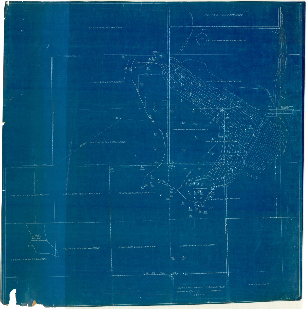
County: Vernon
Map Number: 01520
Mine Name: Moundville Mine
Map Title: Moundville Mine Area, 1/2 mile southwest of Moundville, Vernon County, Missouri, map A
Map Image: MAP IMAGE
Scale: 1" = 200'
Township: 34N
Range: 32W
Section: 5, 6
Commodity: Coal
Company Name:
Author:
Date: 1931
Purchase: High-resolution electronic and paper maps are available for purchase by calling 573-368-2100