Missouri Geological Survey
Display Map Information
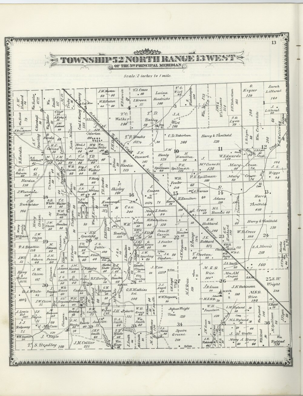
County: Randolph
Map Number: 01489
Mine Name:
Map Title: Township 52 North Range 13 West of the 5th Principal Meridian
Map Image: MAP IMAGE
Scale: 2" = 1 mile
Township: 52N
Range: 13W
Section: 5
Commodity: Coal
Company Name:
Author: Edwards Brothers
Date: 1876
Purchase: High-resolution electronic and paper maps are available for purchase by calling 573-368-2100