Missouri Geological Survey
Display Map Information
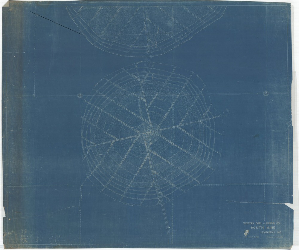
County: Lafayette
Map Number: 01408
Mine Name: South Mine, Summit Mine
Map Title: Western Coal & Mining Co. South Mine
Map Image: MAP IMAGE
Scale: 1" = 200'
Township: 50N
Range: 27W
Section: 15, 16, 21, 22
Commodity: Coal
Company Name: Western Coal & Mining Co.
Author:
Date: 1917
Purchase: High-resolution electronic and paper maps are available for purchase by calling 573-368-2100