Missouri Geological Survey
Display Map Information
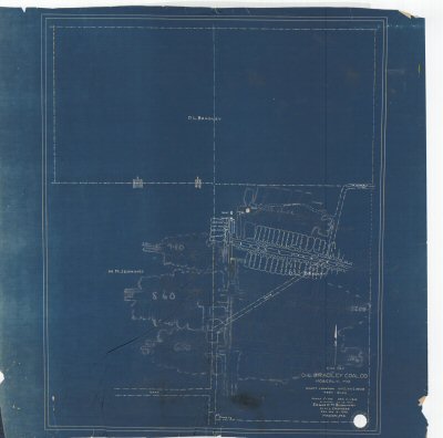
County: Randolph
Map Number: 01368
Mine Name:
Map Title: Mine Map D.L. Bradley Coal Co. Moberly, Mo.
Map Image: MAP IMAGE
Scale: 1" = 100'
Township: 53N
Range: 14W
Section: 15, 16
Commodity: Coal
Company Name: D.L. Bradley Coal Co.
Author: Edgar C.M. Burkhart
Date: 1946
Purchase: High-resolution electronic and paper maps are available for purchase by calling 573-368-2100