Missouri Geological Survey
Display Map Information
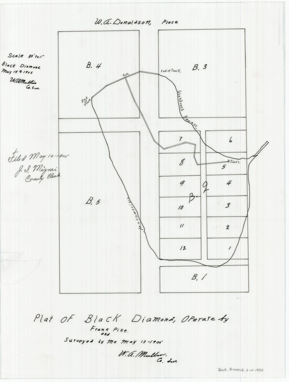
County: Randolph
Map Number: 01292
Mine Name: Black Diamond Mine
Map Title: Plat of Black Diamond, Operate by Frank Pike and Surveyed by Me May 12 - 1905
Map Image: MAP IMAGE
Scale: 1" = 80'
Township: 54N
Range: 15W
Section:
Commodity: Coal
Company Name: Frank Pike
Author: W.A. Mullin
Date: 1905
Purchase: High-resolution electronic and paper maps are available for purchase by calling 573-368-2100