Missouri Geological Survey
Display Map Information
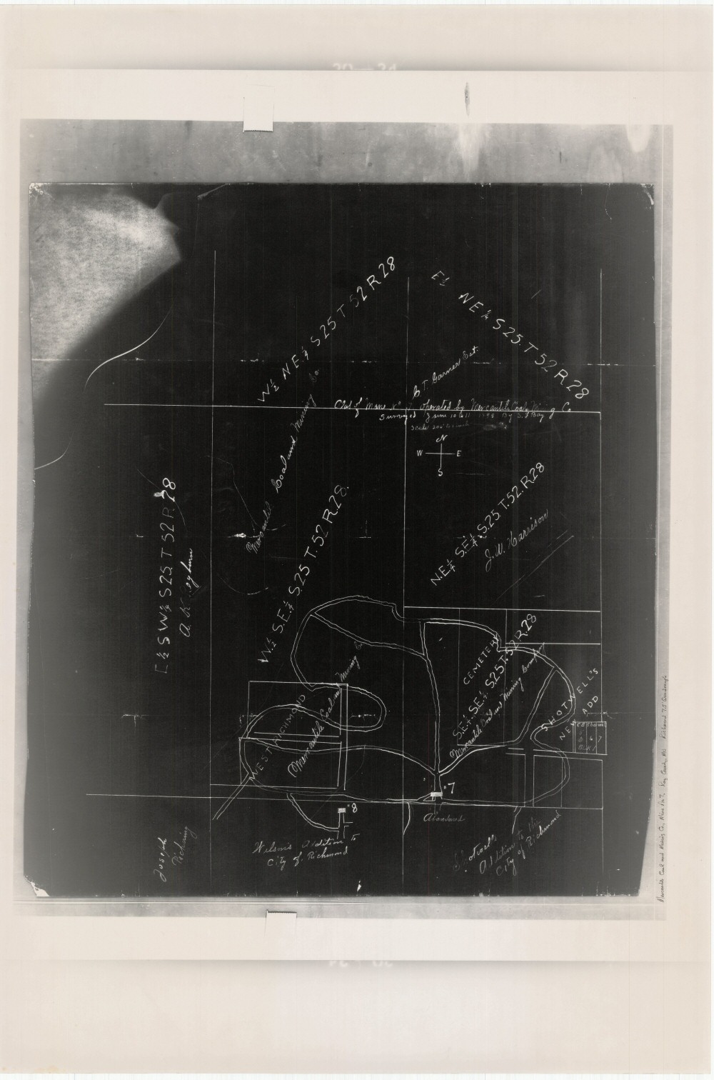
County: Ray
Map Number: 01282
Mine Name: Mine No 7, #8
Map Title: Plat of Mine No 7 Operated by Mercantile Coal & Mining Co
Map Image: MAP IMAGE
Scale: 1" = 200'
Township: 52N
Range: 28W
Section: 25, 36
Commodity: Coal
Company Name: Mercantile Coal & Mining Co
Author: S.L. Bay
Date: 1898
Purchase: High-resolution electronic and paper maps are available for purchase by calling 573-368-2100