Missouri Geological Survey
Display Map Information
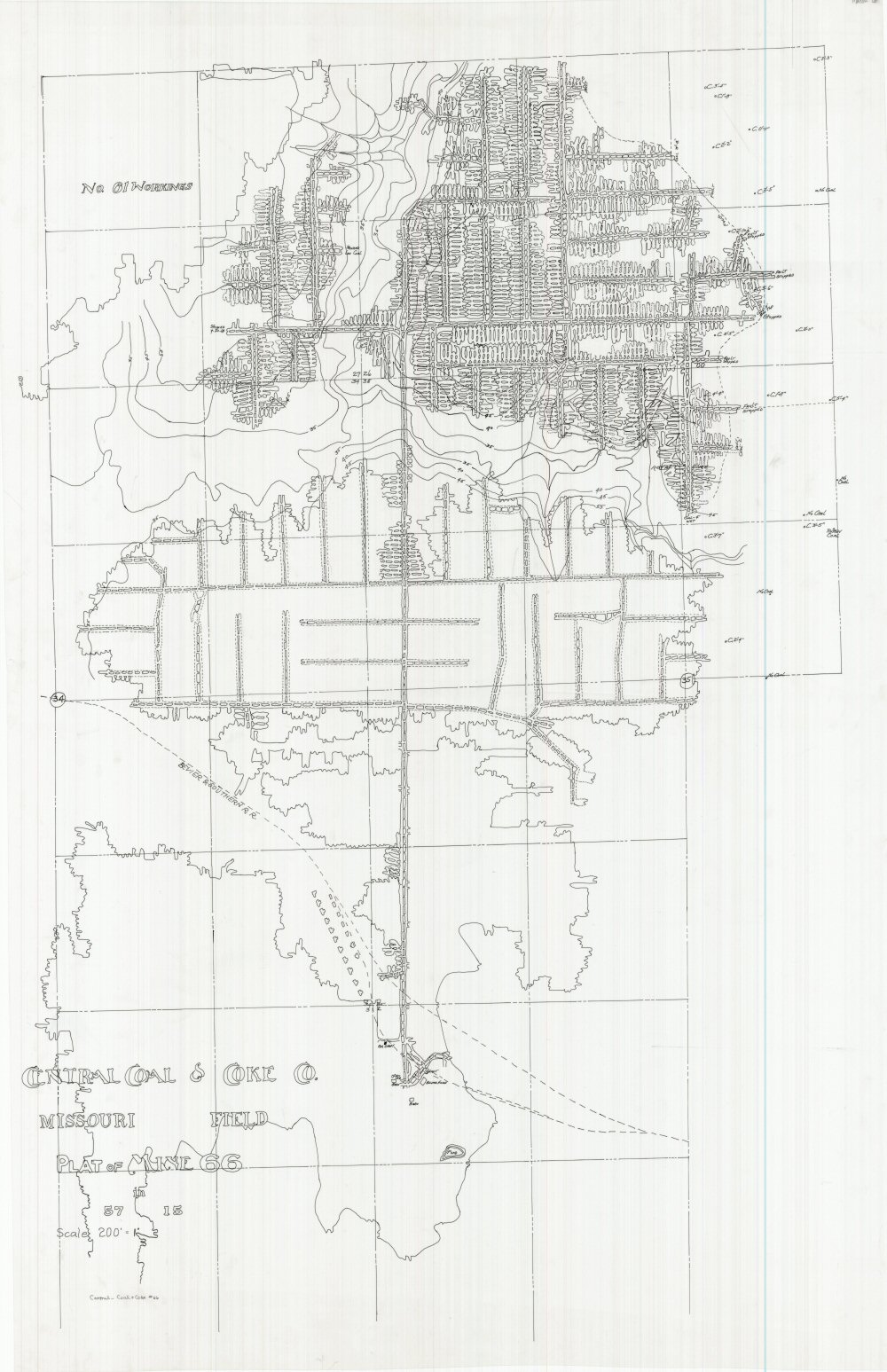
County: Macon
Map Number: 01253
Mine Name: Mine 66, No. 61 Workings
Map Title: Central Coal & Coke Co. Missouri Field Plat of Mine 66
Map Image: MAP IMAGE
Scale: 1" = 200'
Township: 56N; 57N
Range: 15W; 15W
Section: 2, 3; 26, 27, 34, 35
Commodity: Coal
Company Name: Central Coal & Coke Co.
Author:
Date: no date
Purchase: High-resolution electronic and paper maps are available for purchase by calling 573-368-2100