Missouri Geological Survey
Display Map Information
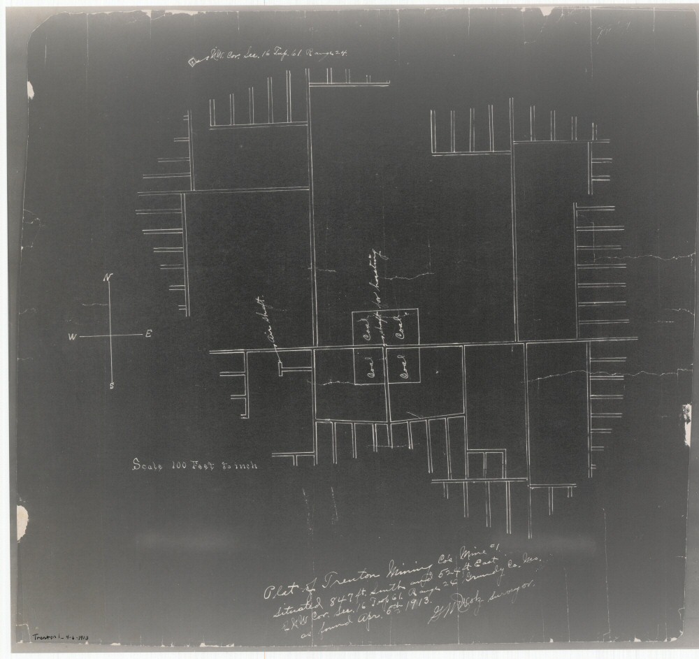
County: Grundy
Map Number: 01170
Mine Name: Mine # 1
Map Title: Plat of Trenton Mining Co's Mine # 1
Map Image: MAP IMAGE
Scale: 1" = 100'
Township: 61N
Range: 24W
Section: 16, 17
Commodity: Coal
Company Name: Trenton Mining Co.
Author: G.M. Wolz
Date: 1913
Purchase: High-resolution electronic and paper maps are available for purchase by calling 573-368-2100