Missouri Geological Survey
Display Map Information
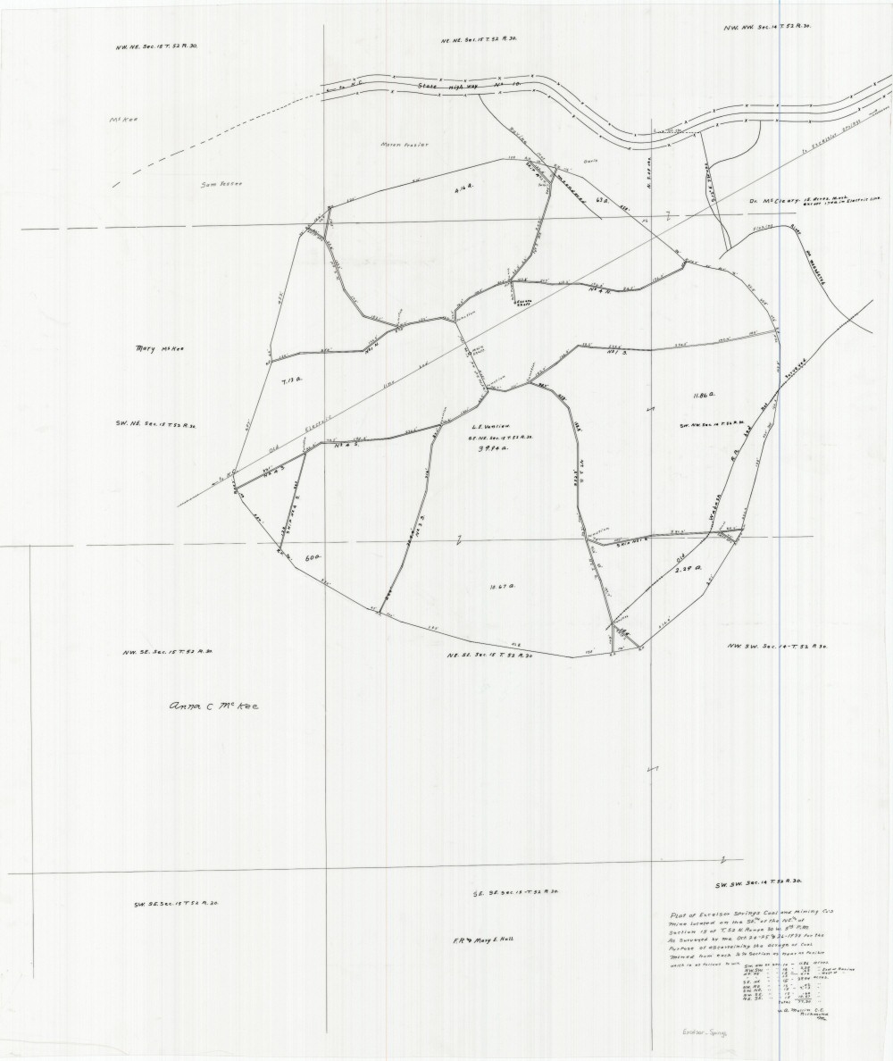
County: Clay
Map Number: 01157
Mine Name:
Map Title: Plat of Excelsor Springs Coal and Mining Co's Mine
Map Image: MAP IMAGE
Scale: no scale
Township: 52N
Range: 30W
Section: 14, 15
Commodity: Coal
Company Name: Excelsor Springs Coal and Mining Co.
Author: W.A. Mullin
Date: 1938
Purchase: High-resolution electronic and paper maps are available for purchase by calling 573-368-2100