Missouri Geological Survey
Display Map Information
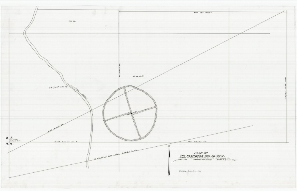
County: Clay
Map Number: 01152
Mine Name: Klondike Coal Co. Mine
Map Title: Map of the Klondike Coal Co. Mine
Map Image: MAP IMAGE
Scale: 1" = 100'
Township: 52N
Range: 30W
Section: 9
Commodity: Coal
Company Name: Klondike Coal Co.
Author: James C. Brown
Date: 1944
Purchase: High-resolution electronic and paper maps are available for purchase by calling 573-368-2100