Missouri Geological Survey
Display Map Information
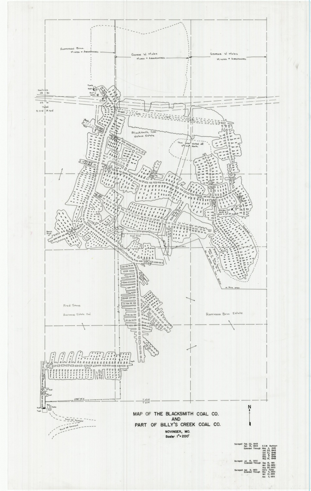
County: Adair
Map Number: 01144
Mine Name:
Map Title: Map of the Blacksmith Coal Co. and Part of Billy's Creek Coal Co.
Map Image: MAP IMAGE
Scale: 1" = 200'
Township: 62N; 63N; 63N
Range: 16W; 16W; 17W
Section: 6; 30, 31; 36
Commodity: Coal
Company Name: Blacksmith Coal Co., Wallace Estate, Hoffman Bros., Fred Stone, Hoermann Estate Coal, George W. Mabis
Author: E.C.M. Burkhart, Harry Fallini
Date: 1956
Purchase: High-resolution electronic and paper maps are available for purchase by calling 573-368-2100