Missouri Geological Survey
Display Map Information
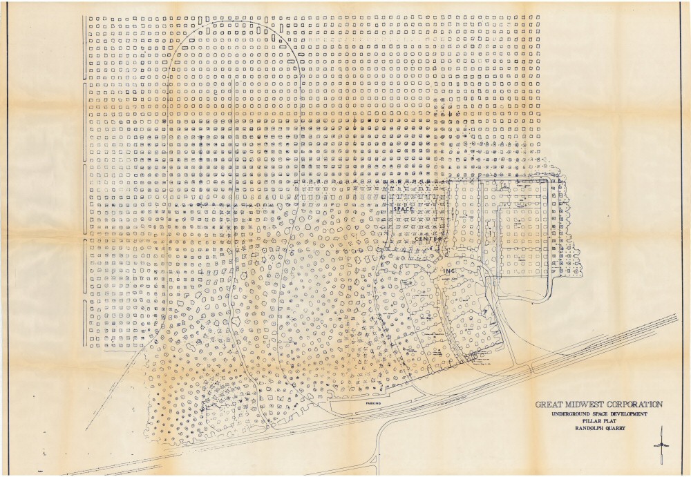
County: Clay
Map Number: 00909a
Mine Name: Randolph Quarry; Mid-West Precoat Mine; Hunt Midwest Mine
Map Title: Great Midwest Corporation, Underground Space Development, Pillar Plat, Randolph Quarry
Map Image: MAP IMAGE
Scale:
Township: 50N
Range: 32W
Section: 10
Commodity: limestone
Company Name: Sub Tropolis
Author:
Date: no date
Purchase: High-resolution electronic and paper maps are available for purchase by calling 573-368-2100