Missouri Geological Survey
Display Map Information
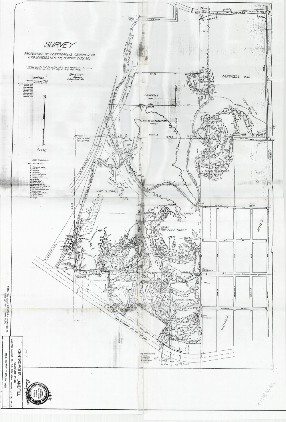
County: Jackson
Map Number: 00908a
Mine Name: Centropolis Mine
Map Title: Survey of Properties of Centropolis Crusher Co., 2700 Manchester Rd, Kansas City, Mo.
Map Image: MAP IMAGE
Scale: 1" = 250'
Township: 49N
Range: 32W
Section: 7, 18
Commodity: limestone
Company Name:
Author: Harvey A. Jones
Date: 1955
Purchase: High-resolution electronic and paper maps are available for purchase by calling 573-368-2100