Missouri Geological Survey
Display Map Information
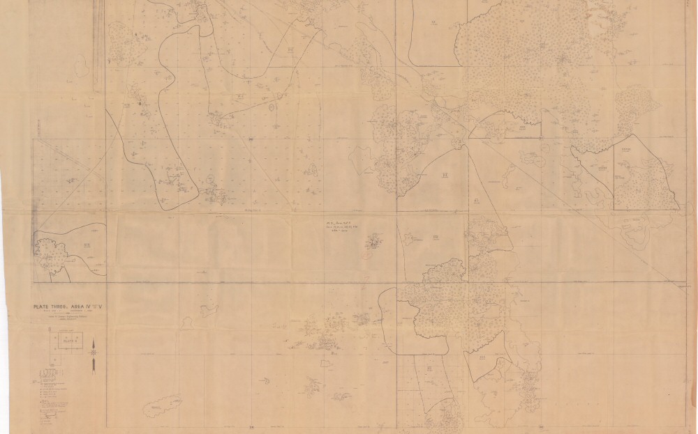
County: Jasper
Map Number: 00684
Mine Name: 11 O'Clock Mine, Arkansas Mine, Cumberland Mine, Mammoth Mine, Boston Get There Mine, Queen Esther Mine, McGregor Mine, Cornfield Mine, Cisco No. 3 Mine, Florence Mine, Bessemer Mine
Map Title: Plat Three Area IV part of V
Map Image: MAP IMAGE
Scale: 1" = 200'
Township: 28N
Range: 32W
Section: 19, 20, 21, 28, 29
Commodity: zinc, lead
Company Name:
Author: William M. Stewart Engineering Co.
Date: 1942
Purchase: High-resolution electronic and paper maps are available for purchase by calling 573-368-2100