Missouri Geological Survey
Display Map Information
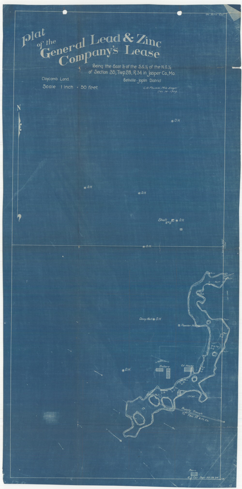
County: Jasper
Map Number: 00610
Mine Name: General Mine
Map Title: Plat of the General Lead & Zinc Company's Lease
Map Image: MAP IMAGE
Scale: 1" = 50'
Township: 28N
Range: 34W
Section: 35
Commodity: zinc, lead
Company Name:
Author: C.H. Plumb Civ. & Ming. Engr.
Date: 1909
Purchase: High-resolution electronic and paper maps are available for purchase by calling 573-368-2100