Missouri Geological Survey
Display Map Information
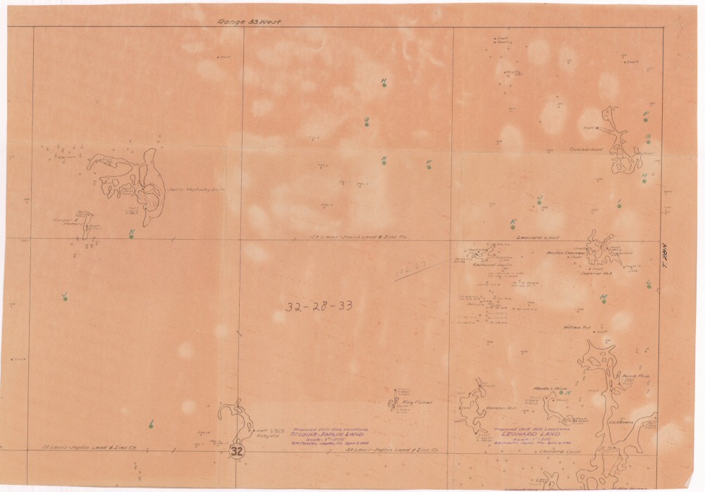
County: Jasper
Map Number: 00593
Mine Name: Lachawana Mine, William Tell Mine, Bessie Mine, Moude L Mine, Beacon Mine, King Fisher Mine, Chitwood Mine, Boston Cherokee Mine, Cumberland Mine, Katydid Mine, Cooper Peters Mine, Joplin-Kentucky Mine
Map Title:
Map Image: MAP IMAGE
Scale: 1" = 200'
Township: 28N
Range: 33W
Section: 32
Commodity: zinc, lead
Company Name:
Author: G.M. Fowler
Date: 1942
Purchase: High-resolution electronic and paper maps are available for purchase by calling 573-368-2100