Missouri Geological Survey
Display Map Information
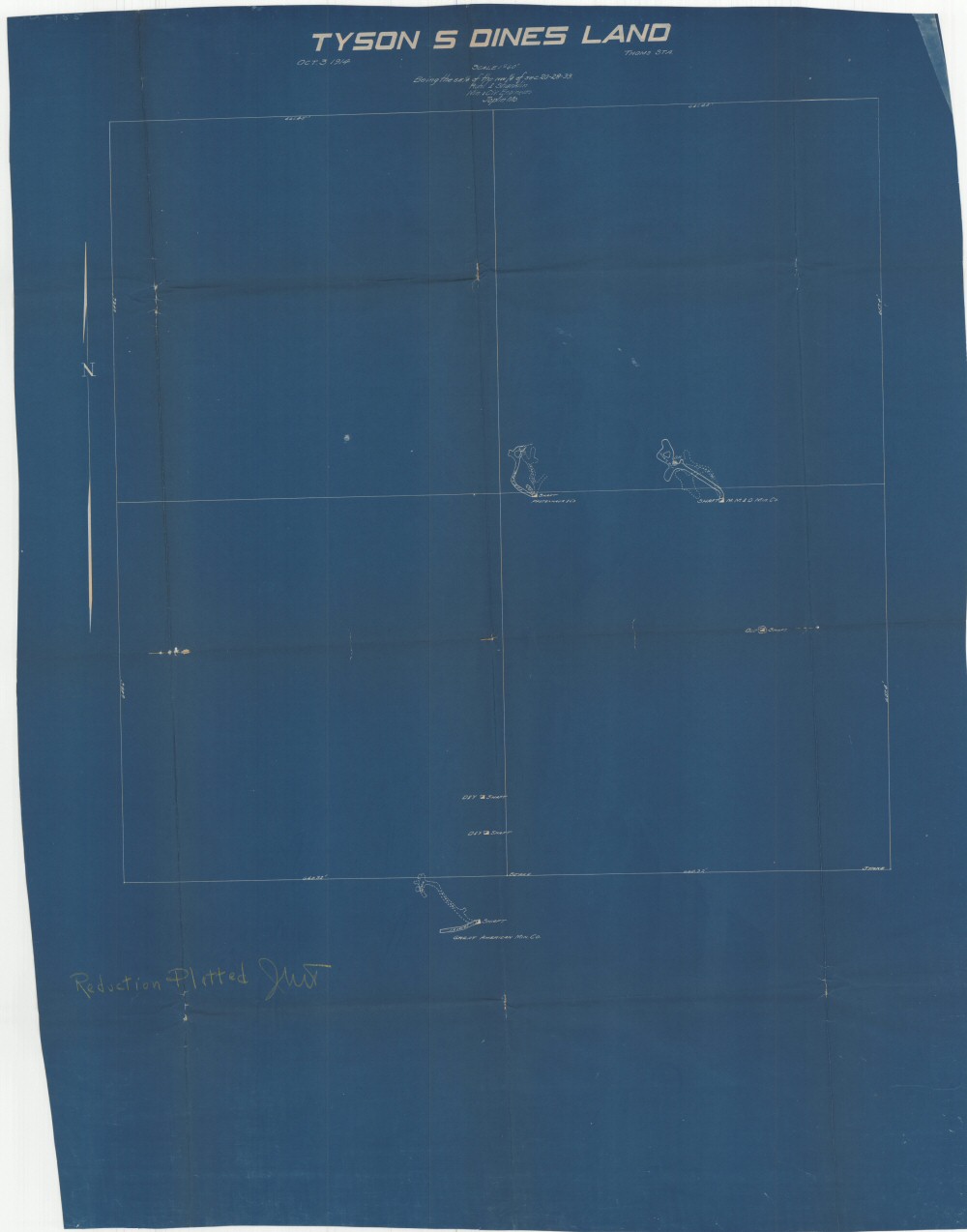
County: Jasper
Map Number: 00580
Mine Name: D&Y Mine, Pfotenhaur Mine, MM&O Mine
Map Title: Tyson S Dines Land
Map Image: MAP IMAGE
Scale: 1" = 60'
Township: 28N
Range: 33W
Section: 20
Commodity: zinc, lead
Company Name:
Author: Ruhl & Shanklin Min. & Civ. Engineers
Date: 1914
Purchase: High-resolution electronic and paper maps are available for purchase by calling 573-368-2100