Missouri Geological Survey
Display Map Information
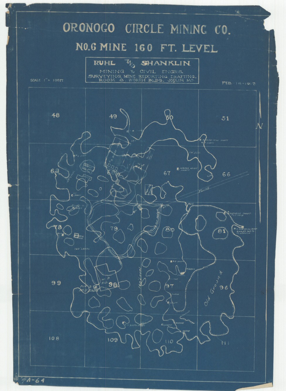
County: Jasper
Map Number: 00547
Mine Name: Oronogo No. 6
Map Title: Oronogo Circle Mining Co.
Map Image: MAP IMAGE
Scale: 1" = 100'
Township: 29N
Range: 33W
Section: 36
Commodity: zinc, lead
Company Name:
Author: Ruhl and Shanklin
Date: 1913
Purchase: High-resolution electronic and paper maps are available for purchase by calling 573-368-2100