Missouri Geological Survey
Display Map Information
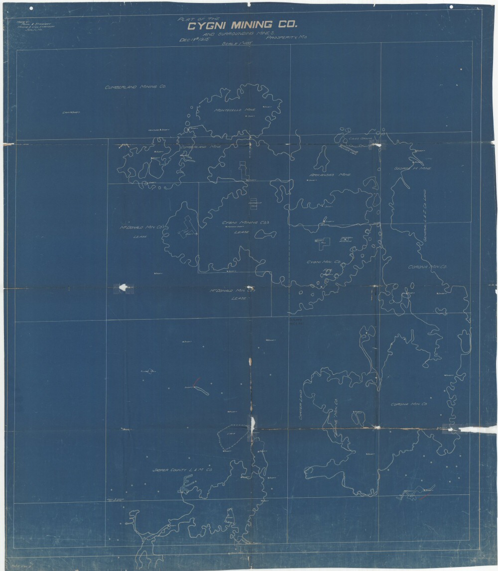
County: Jasper
Map Number: 00535
Mine Name: Monticello Mine, Cumberland Mine, Arkansas Mine,
Map Title: Plat of the Cygni Mining Co.
Map Image: MAP IMAGE
Scale: 1" = 100'
Township: 28N
Range: 32W
Section: 21, 28
Commodity: zinc, lead
Company Name:
Author: Ruhl & Stewart Mining and Civil Engineers
Date: 1915
Purchase: High-resolution electronic and paper maps are available for purchase by calling 573-368-2100