Missouri Geological Survey
Display Map Information
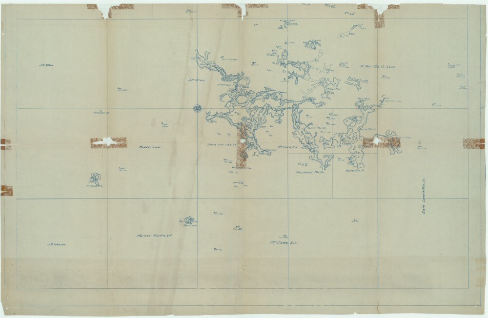
County: Newton
Map Number: 00499
Mine Name: Mary E. Mine, Onandaga Mine
Map Title: The Spring City Mines, Showing Underground Development
Map Image: MAP IMAGE
Scale: 1" = 200'
Township: 26N
Range: 33W
Section: 10, 11
Commodity: zinc, lead
Company Name:
Author: Ruhl & Shanklin, Mining and Civil Engineers
Date: 1916
Purchase: High-resolution electronic and paper maps are available for purchase by calling 573-368-2100