Missouri Geological Survey
Display Map Information
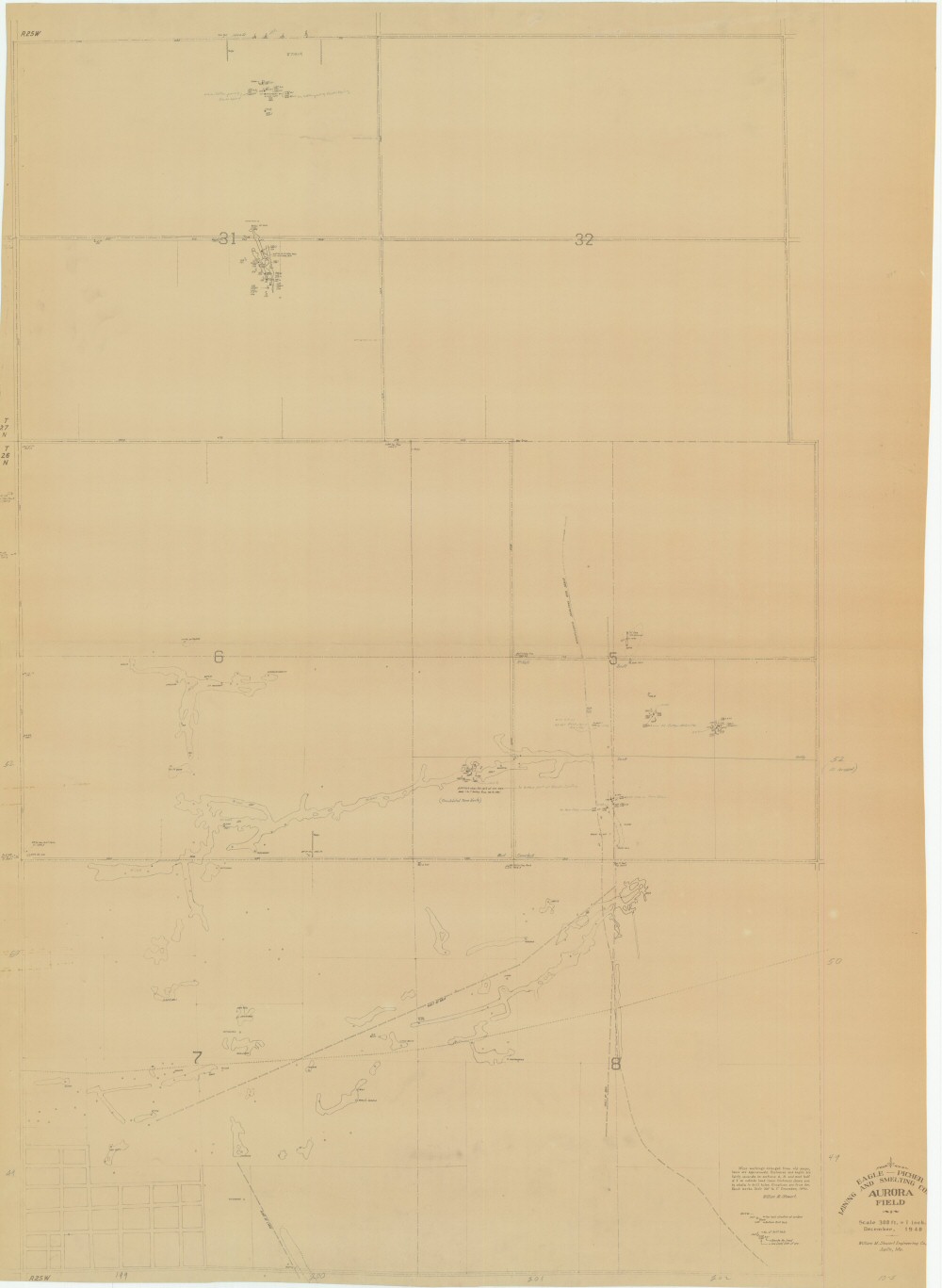
County: Lawrence
Map Number: 00490
Mine Name:
Map Title: Eagle-Picher Mining & Smelting Company, Aurora Field
Map Image: MAP IMAGE
Scale: 1" = 300'
Township: 26N, 27N
Range: 25W
Section: 05, 06, 07, 08; 31, 32
Commodity: zinc, lead
Company Name: Eagle-Picher Mining & Smelting Company
Author: William M. Stewart Engineering Co., Joplin Mo.
Date: 1940
Purchase: High-resolution electronic and paper maps are available for purchase by calling 573-368-2100