Missouri Geological Survey
Display Map Information
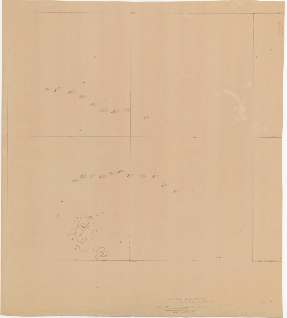
County: Jasper
Map Number: 00392
Mine Name:
Map Title: W1/2-SW1/4 - Sec 32-T28-R33, Joplin-St. Louis - (St. Regis 80)
Map Image: MAP IMAGE
Scale: 1"=100'
Township: 28N
Range: 33W
Section: 32
Commodity: zinc, lead
Company Name:
Author: William M. Stewart Engineering Co.
Date: 1942
Purchase: High-resolution electronic and paper maps are available for purchase by calling 573-368-2100