Missouri Geological Survey
Display Map Information
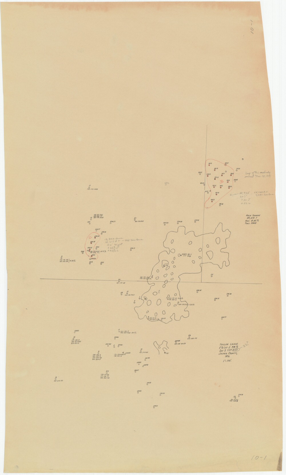
County: Jasper
Map Number: 00390
Mine Name:
Map Title: Taylor Lease, E1/2 Lot 2 NW1/4, Sec 5 T27-R33, Jasper County, Mo.
Map Image: MAP IMAGE
Scale: 1"=100'
Township: 27N
Range: 33W
Section: 05
Commodity: zinc, lead
Company Name:
Author:
Date: no date
Purchase: High-resolution electronic and paper maps are available for purchase by calling 573-368-2100