Missouri Geological Survey
Display Map Information
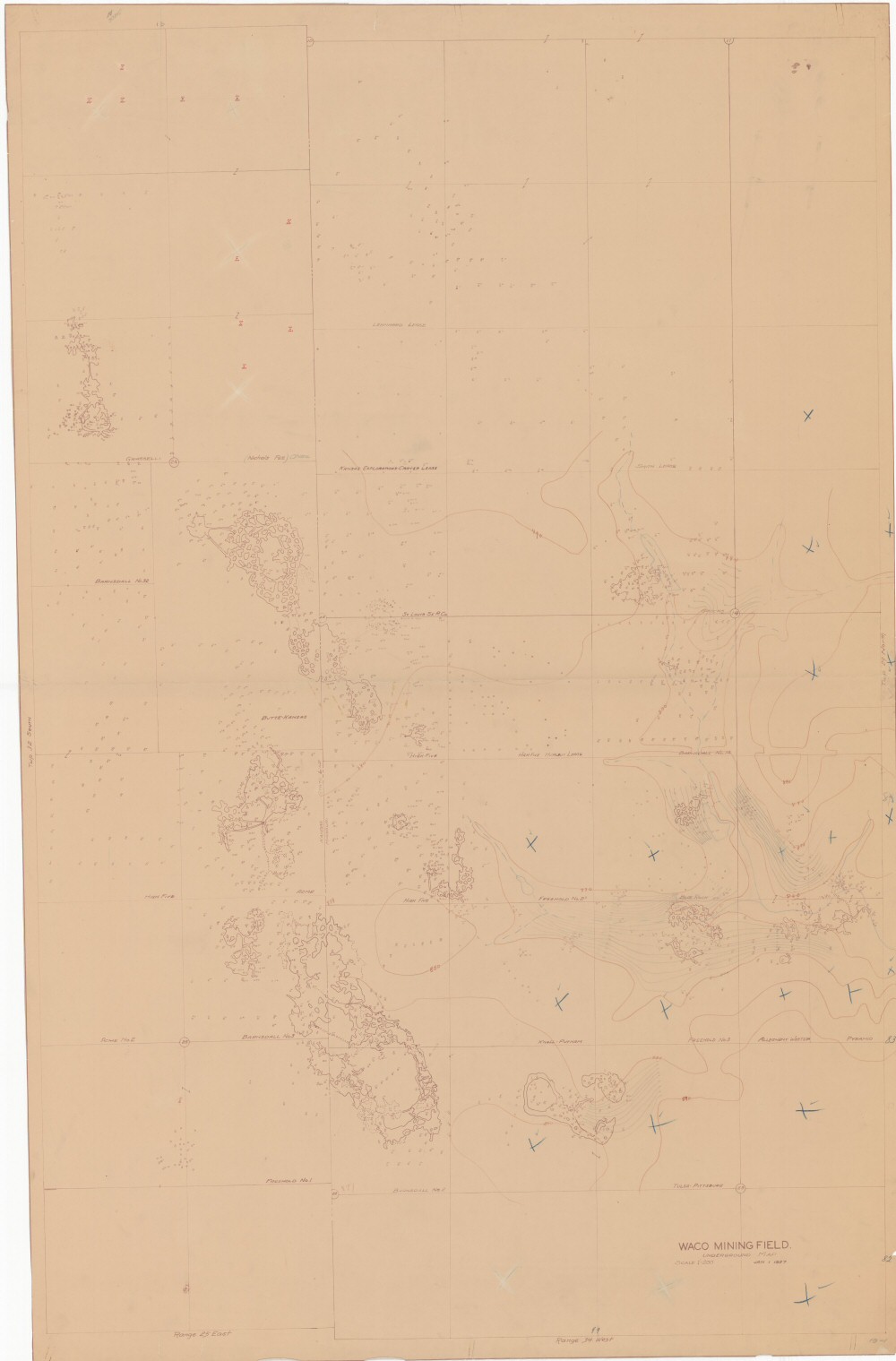
County: Jasper
Map Number: 00372
Mine Name:
Map Title: Waco Mining Field., Underground Map
Map Image: MAP IMAGE
Scale: 1"=200'
Township: 29N
Range: 34W
Section: 10, 11, 14, 15, 22, 23
Commodity: zinc, lead
Company Name: Waco?
Author:
Date: 1927
Purchase: High-resolution electronic and paper maps are available for purchase by calling 573-368-2100