Missouri Geological Survey
Display Map Information
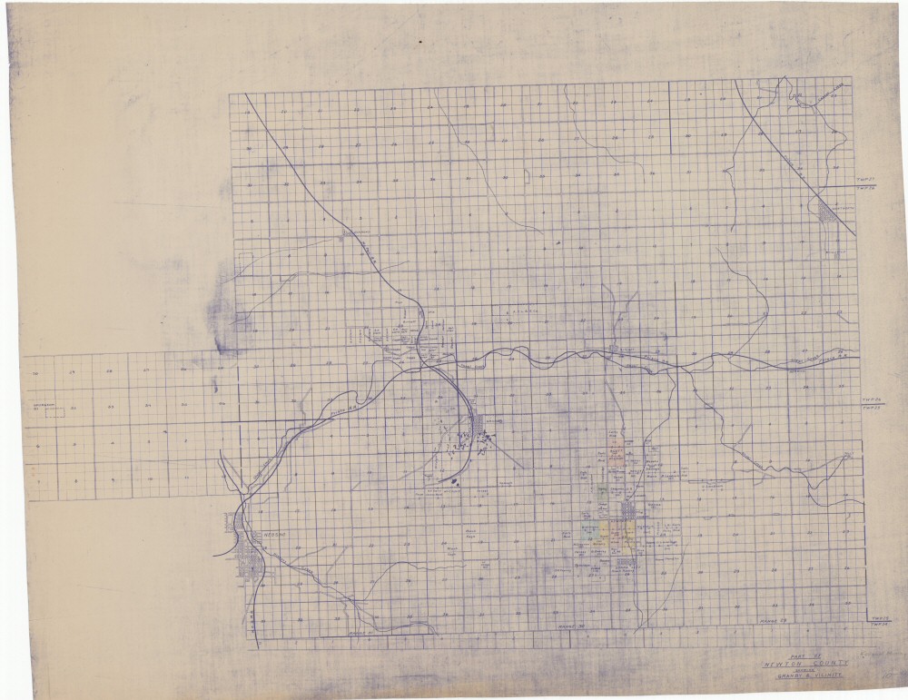
County: Newton
Map Number: 00365
Mine Name:
Map Title: Part of Newton County Showing Granby & Vicinity
Map Image: MAP IMAGE
Scale:
Township: 24N, 25N, 26N, 27N
Range: 29W, 30W, 31W, 32W
Section: ;;;;;05, 06, 07, 11, 12, 15, 23; 01, 12;;;;;;;;;
Commodity: zinc, lead
Company Name: Federal Mining Co.
Author:
Date:
Purchase: High-resolution electronic and paper maps are available for purchase by calling 573-368-2100