Missouri Geological Survey
Display Map Information
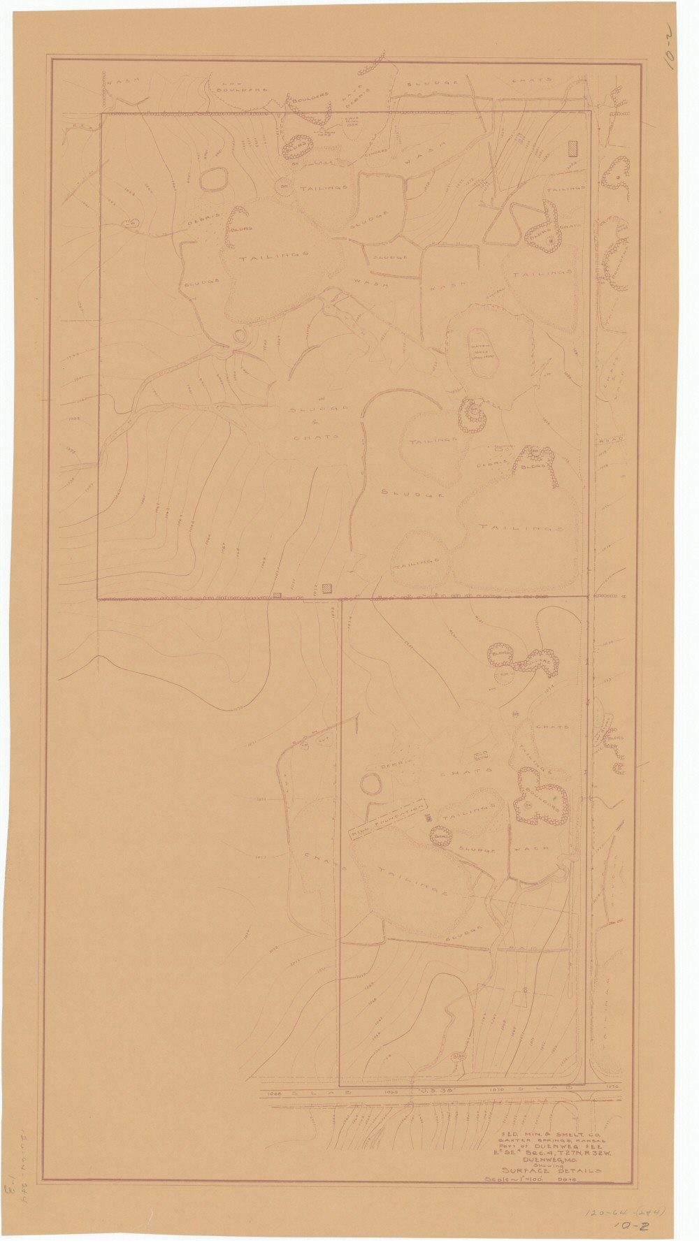
County: Jasper
Map Number: 00297
Mine Name: *multiple mines
Map Title: Fed. Min. & Smelt. Co., Baxter Springs, Kansas, Part of Duenweg FEE, E2SE4 Sec.4, T27N, R32W, Duenweg, MO, Showing Surface Details
Map Image: MAP IMAGE
Scale: 1"=100'
Township: 27N
Range: 32W
Section: 04, 03, 09
Commodity: zinc, lead
Company Name: Federal Mining & Smelting Co.
Author:
Date: no date
Purchase: High-resolution electronic and paper maps are available for purchase by calling 573-368-2100