Missouri Geological Survey
Display Map Information
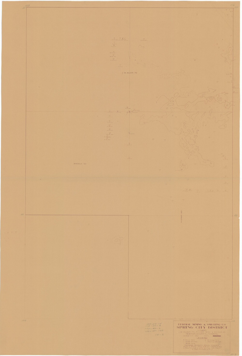
County: Newton
Map Number: 00290
Mine Name: *multiple mines
Map Title: Federal Mining & Smelting Co, Spring City District, Showing J.W. Allen 70, McCown W.80 & Waddle 40, Newton County, Missouri
Map Image: MAP IMAGE
Scale: 1"=100'
Township: 26N
Range: 33W
Section: 10, 15
Commodity: zinc, lead
Company Name: Federal Mining & Smelting Co
Author:
Date:
Purchase: High-resolution electronic and paper maps are available for purchase by calling 573-368-2100