Missouri Geological Survey
Display Map Information
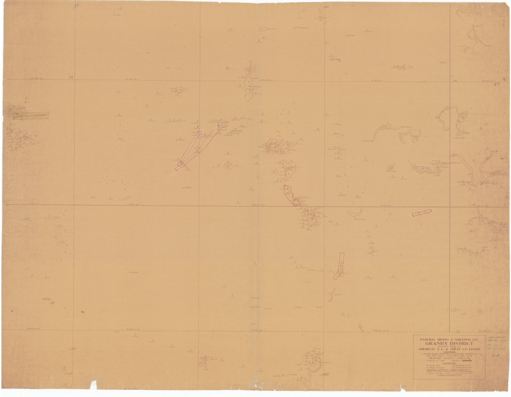
County: Newton
Map Number: 00288
Mine Name: *multiple mines
Map Title: Federal Mining & Smelting Co., Granby District, Showing Part of American Z.L. & Smelt. Co. Lease, Located N2-NE4 & NE4-NW4 SEC. 12, and the S2-SE4 & SE4-SW4 SEC.1, TWP. 25N, RGE. 30W, Newton County, Missouri
Map Image: MAP IMAGE
Scale: 1"=100'
Township: 25N
Range: 30W, 31W
Section: 06, 07; 01, 12
Commodity: zinc, lead
Company Name: Federal Mining & Smelting Co.
Author:
Date:
Purchase: High-resolution electronic and paper maps are available for purchase by calling 573-368-2100