Missouri Geological Survey
Display Map Information
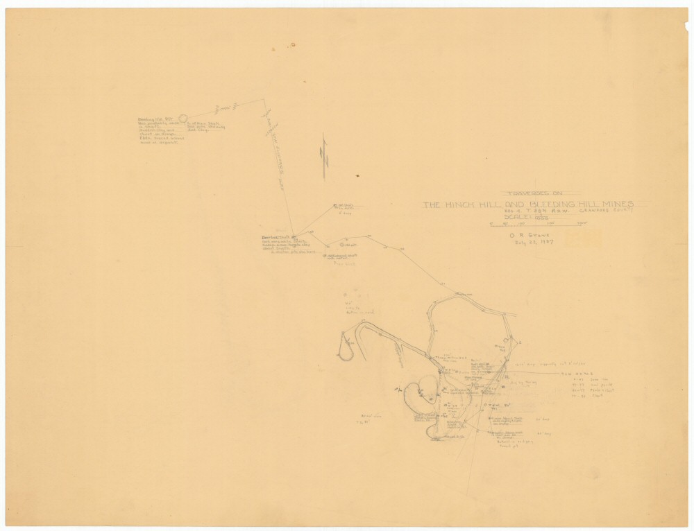
County: Crawford
Map Number: 00278
Mine Name: Hinch Hill Mine, Bleeding Hill Mines, Deer Lick Shaft
Map Title: Traverses on The Hinch Hill and Bleeding Hill Mines
Map Image: MAP IMAGE
Scale: 1:1000 or 1cm=33.3'
Township: 38N
Range: 02W
Section: 04
Commodity: iron
Company Name:
Author: O.R. Grawe
Date: 1937
Purchase: High-resolution electronic and paper maps are available for purchase by calling 573-368-2100