Missouri Geological Survey
Display Map Information
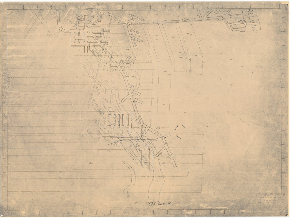
County: Iron
Map Number: 00261
Mine Name: Pilot Knob
Map Title: The Pilot Knob Pellet Co., Iron County, Missouri, Mine Plan Map, South Side, Level 775, Elevation 710-900
Map Image: MAP IMAGE
Scale: 1"=50'
Township: 34N
Range: 04E
Section: 30
Commodity: iron (magnetite)
Company Name: Pilot Knob Pellet Co.
Author:
Date: no date
Purchase: High-resolution electronic and paper maps are available for purchase by calling 573-368-2100