Missouri Geological Survey
Display Map Information
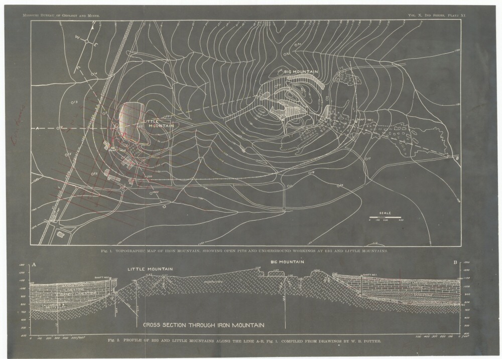
County: St. Francois
Map Number: 00235
Mine Name: Iron Mountain Mine
Map Title: Fig. 1. Topographic Map of Iron Mountain, Showing Open Pits and Underground Workings at Big and Little Mountains
Map Image: MAP IMAGE
Scale: 1 cm = 100'
Township: 35N
Range: 04E
Section: 31
Commodity: iron
Company Name: Ozark Ore Company
Author:
Date: no date
Purchase: High-resolution electronic and paper maps are available for purchase by calling 573-368-2100