Missouri Geological Survey
Display Map Information
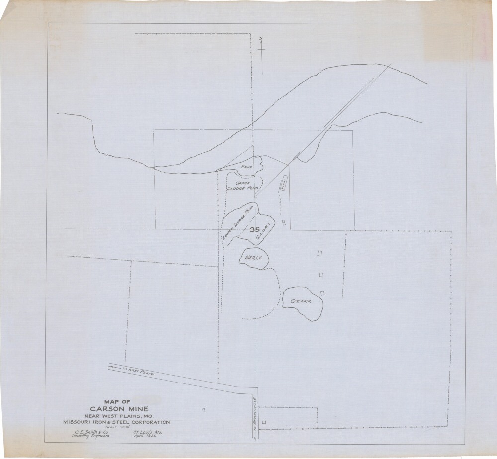
County: Howell
Map Number: 00147
Mine Name: Carson Mine
Map Title: Map of Carson Mine, Near West Plains, MO., Missouri Iron & Steel Corporation
Map Image: MAP IMAGE
Scale: 1"=100'
Township: 24N
Range: 08W
Section: 35
Commodity: iron
Company Name: Missouri Iron & Steel Corporation
Author: C.E. Smith & Co.
Date: 1920
Purchase: High-resolution electronic and paper maps are available for purchase by calling 573-368-2100