Missouri Geological Survey
Display Map Information
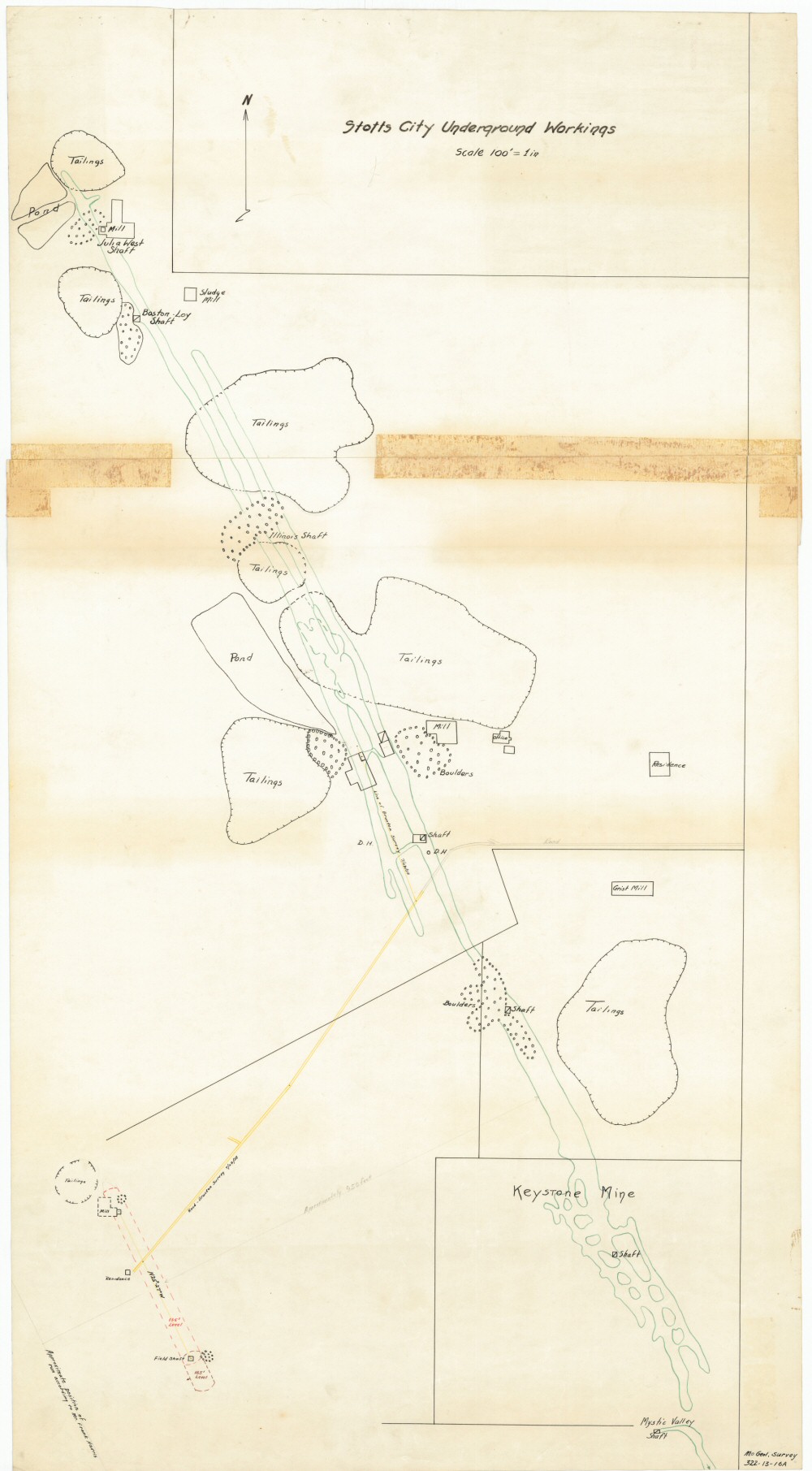
County: Lawrence
Map Number: 00050
Mine Name: Field Shaft, Mystic Valley, C.C.C., Mt. Vernon, Illinois, Boston-Loy, Julia West, Mill Shaft
Map Title: Stotts City Underground Workings
Map Image: MAP IMAGE
Scale: 1"=100'
Township: 28N
Range: 28W
Section: 26, 35
Commodity: lead, zinc
Company Name: multiple companies own parts of this properties
Author:
Date: no date
Purchase: High-resolution electronic and paper maps are available for purchase by calling 573-368-2100