Missouri Geological Survey
Display Map Information
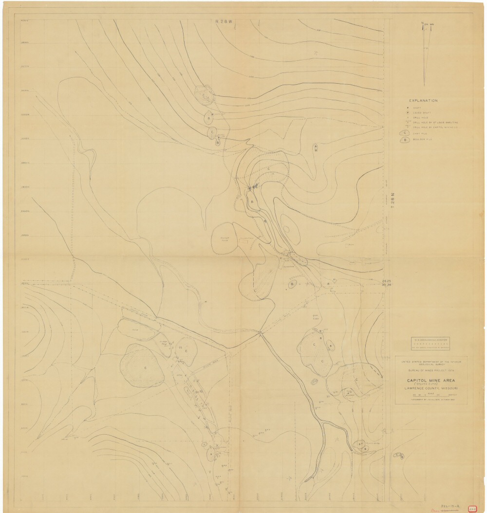
County: Lawrence
Map Number: 00048
Mine Name: Boston Loy, Julia West, Mt. Vernon, Spring River, Childress, Mill, Field, Mystic Valley, Keystone, CCC
Map Title: United States Department of Interior, Geological Survey, Bureau of Mines Project 1574, Capitol Mine Area, Lawrence County, Missouri (Stotts City)
Map Image: MAP IMAGE
Scale: 1"=100'
Township: 28N
Range: 28W
Section: 25, 26, 35, 36
Commodity: zinc, lead
Company Name: United States Department of the Interior, Geological Survey, Bureau of Mines Project 1574
Author: Bureau of Mines; J.S. Cullison
Date: 1943
Purchase: High-resolution electronic and paper maps are available for purchase by calling 573-368-2100