Missouri Geological Survey
Display Map Information
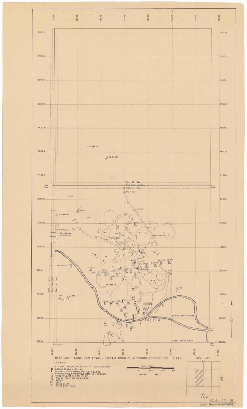
County: Jasper
Map Number: 00039
Mine Name: Lone Elm Tract, Little Nugget Mine
Map Title: Base Map, Lone Elm Tract, Jasper County, Missouri - Project NO. 15-226
Map Image: MAP IMAGE
Scale: 1"=100'
Township: 28N
Range: 33W
Section: 27, 34
Commodity: zinc, lead
Company Name:
Author:
Date: 1948
Purchase: High-resolution electronic and paper maps are available for purchase by calling 573-368-2100