Missouri Geological Survey
Display Map Information
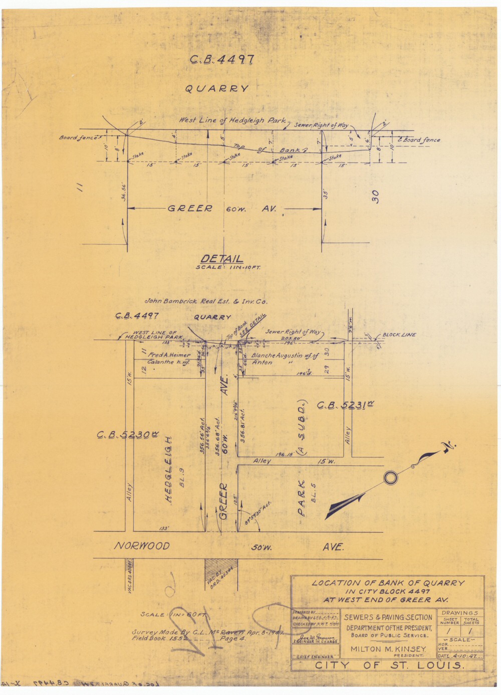
County: St. Louis City
Map Number: 00022
Mine Name: Bambrick-Bates Construction Company Quarry #1
Map Title: Location of Bank Quarry in City Block 4497 at West End of Greer Av.
Map Image: MAP IMAGE
Scale: 1"=60'
Township: 45N
Range: 07E
Section: 05
Commodity: limestone
Company Name: City of St. Louis, Department of the President, Board of Public Service, Sewers & Paving Section
Author: C.L. McRaven, L.V.G., H.W.P.
Date: 1947
Purchase: High-resolution electronic and paper maps are available for purchase by calling 573-368-2100