Mine Maps -- Clay County
Blue tint indicates areas where mine maps are presently available. Click on a highlighted area to see a list of maps that are available.
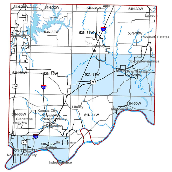
Disclaimer – This information is inclusive of maps archived in or scanned by the Missouri Mine Map Repository.
It does not contain maps for all underground mines in the state of Missouri.